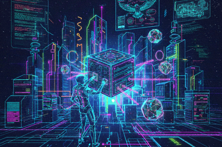
Jamaica.. We need a Satellite
Hello Jamaica!
I am not a satellite expert and my most relevant background is a degree in mathematics and physics, and many years watching StarTrek. But, I have aspirations, give me 3 minutes to convince you to support Jamaica’s United Space Federation, JUSF and our first mission, putting a Satellite in Orbit.
So what is a Satellite? It’s an object orbiting Earth in Space, our most famous one is the Moon.
Now of all the things we as a Nation could be spending on why a Satellite? Other than being an international declaration of Jamaica’s push into the future, there are many benefits for us. Here are the top three reasons: Protect the Land and People we Love, Fighting Crime and Owning our Destiny.
Protect the Land we Love
Fight Deforestation
Forests are being destroyed by humans all over the world, and millions of acres are lost a year. Satellites are currently being used to monitor forests 24/7, in near-real-time. Satellite images allow us to quickly respond to illegal cutting and burning of forest land. Forests: provide a home for Jamaican indigenous creatures, protect land erosion, preserve water, reduce air pollution and combat climate change. Let’s protect them with Satellites
Corrosion Of Coast Lines
Monitoring coastal changes can help us efficiently (save tax money) and proactively spend money on preserving our beaches and coastlines; a staple of our Tourism. More importantly, we can monitor coastal erosion near populated areas, sending out warnings and aid before lives are threatened. Wouldn’t you want to know if you are living in an at-risk area? or about to purchase land that could end up underwater if some breeze came through? This is not a new idea, according to the United States Geological Survey (USGS) hundreds of satellites are being used around the world for this purpose already.
Measuring Pollution
Satellites can monitor pollutants and harmful emissions, allowing us to predict the effects on our public health and make plans before it’s too late. The Wire has reported that 12 governments and private companies are planning to launch satellites that can pinpoint the source of pollutants and greenhouse emissions.
Forecasting Disasters
A tech company in New Mexico, called Descartes Labs used Machine Learning and Satellites to detect flood zones before and during Hurricane Harvey in 2017. We can do the same and improve our day-to-day weather forecasting.
Fighting Crime
Satellites can and are being used to spot illegal dumping, smuggling and other activities in almost real-time.
Own our Destiny
Owning our Destiny means owning our Data; not having to rely on other governments to monitor us and expect them to have our best interests at heart. We can share that Data with everyone and find solutions to problems we have now and problems we don’t even know about yet.
What are the drawbacks?
Good decision-making is all about objectivity and perspective. I will play the “Vote No Satellites” and “Vote Yes Satellites” roles for this portion. Firstly, we could use that money to tackle real-world problems. There are relatively low-cost options and the value is foresight; saving lives tomorrow and preserving Jamaica for future generations.
Next point, we don’t have the expertise to manage something like that. To that I say, good enough reason to do it, “whistle while we work”, sponsor programs for the future Jamaican Satellite & Space Engineers and Astronauts. Diversifying the Value we provide to the rest of the world.
What about Privacy? Spy satellites. It is a risk, we need oversight, independent non-government entities in place and public access.
What about space pollution? According to NASA, there are over 27,000 pieces of space junk bigger than a cricket ball orbiting Earth. This fence of Space Debris is made thicker every time you launch something into space. If the fence becomes thick enough it could prevent us from launching missions to other planets. Scientists are working on space robots to clean up the debris, like a space janitor and Smart Satellites that can dodge threats automatically without humans intervening. A “Today” solution is to use small satellites that can fit in your hand, a little bigger than your Phone; smaller satellites, less debris.
Now, will you join me in taking making Jamaica an Interplanetary Island? “ To boldly go where no Caribbean Island has gone before” It starts with owning our own Satellite Data and building Local Space Talent. Vote Yes to the Jamaican SpaceForce.
Stay Innovative Jamaica!
- Share
-

-

-

Other articles
-

Is Artificial Intelligence the same as Machine Learning?
In the rapidly evolving world of technology, terms like Artificial Intelligence (AI) and Machine Learning (ML) are often used interchangeably. However, while they are closely related, they are not the same thing. In this blog post, we’ll dive into the intricacies of AI and ML, unravel their differences, and explore how they are shaping our […]
Enroll -

The AI-Powered Holiday: Smart Technology for Deeper Human Connection
The scent of cinnamon and pine fills Sarah’s kitchen as she reviews her holiday timeline on her tablet. What might appear to be simple meal planning actually represents a sophisticated collaboration between human intention and artificial intelligence. Her AI assistant has analyzed three years of family preferences, dietary restrictions, and cooking success rates to suggest […]
Enroll -
AI Agents Are Rewriting the Rules of Cyberespionage
The digital battlefield has evolved beyond recognition. While cybersecurity experts once tracked individual hackers and their signature malware, today’s threat landscape resembles something closer to a biological ecosystem. Autonomous AI agents now operate independently, learning from failures, adapting to defences, and coordinating attacks with a sophistication that would make military strategists pause. Recent intelligence reports […]
Enroll -

Caribbeans Can Win the World Cup with AI – The Island Blueprint for Global Football Glory
When people speak about the World Cup they often picture Europe or South America. Yet the Caribbean has entered a rare moment in football history. Curaçao has already qualified for 2026. Haiti is in. Jamaica and Suriname are still pushing through the playoffs. This is the first time in living memory that the region has […]
Enroll


